Case Study: Level 2 Home Survey with Drone Imagery
Project Details
- Sector: Residential
- Scale: Pre-Purchase Home Survey
- Services: Level 2 Home Survey with Supporting Drone Footage
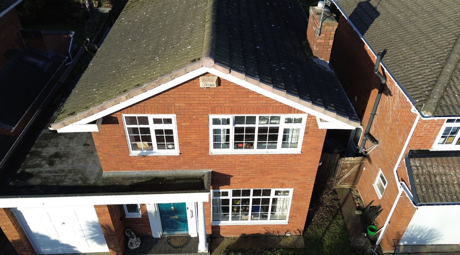
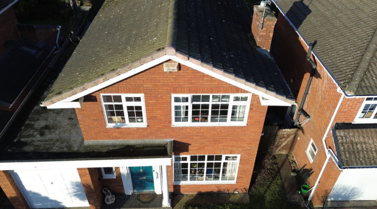
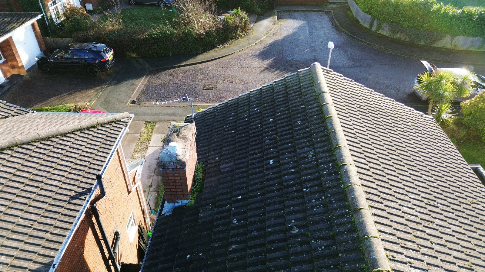
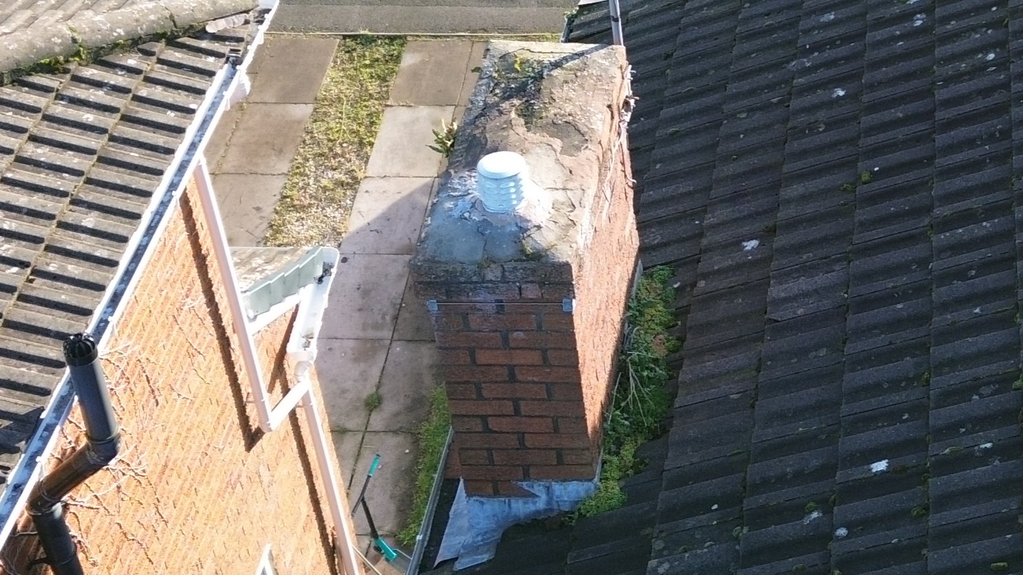
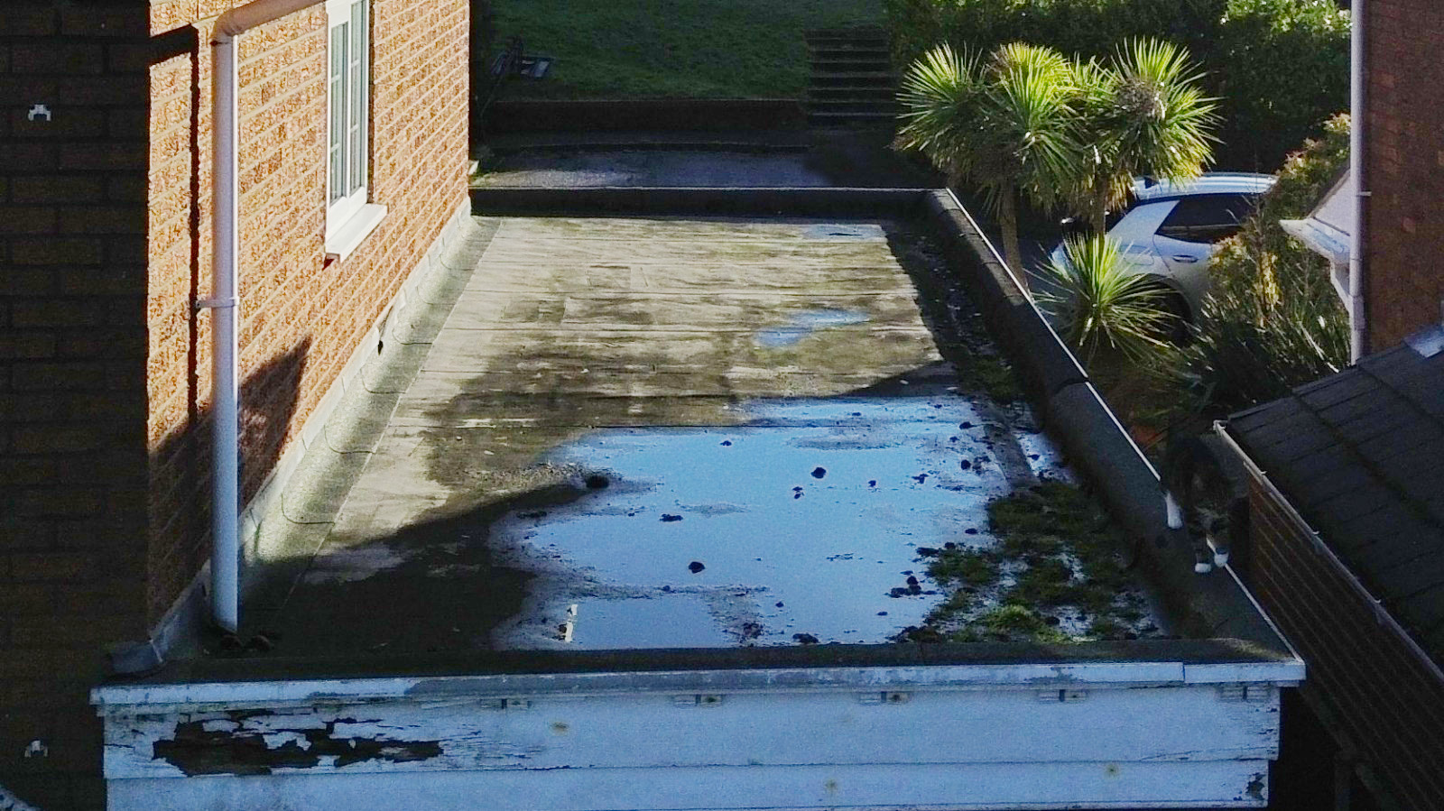
Using drone technology as part of a Level 2 Home Survey, our team was able to capture high-resolution images of the property’s roof, chimney, and hard-to-reach areas. Unlike traditional surveys conducted from ground level, this approach provided a clear view of potential defects that would otherwise go unnoticed.
Our drone allowed for precise, controlled inspections, while maintaining line of sight, ensuring a thoroughly detailed and accurate assessment of the property.
This method not only dramatically improves visibility beyond many standard surveys, but also enabled our surveyor to identify critical defects such as damaged flaunching on the chimney and excessive vegetation in the rear gutter, both of which could contribute to water ingress and long-term structural concerns.
For more info on what’s included in our Level 2 & Level 3 Home Surveys, click here.
ASL’s team of RICS Chartered Surveyors and Valuers are here to help in your property purchase or management process.


